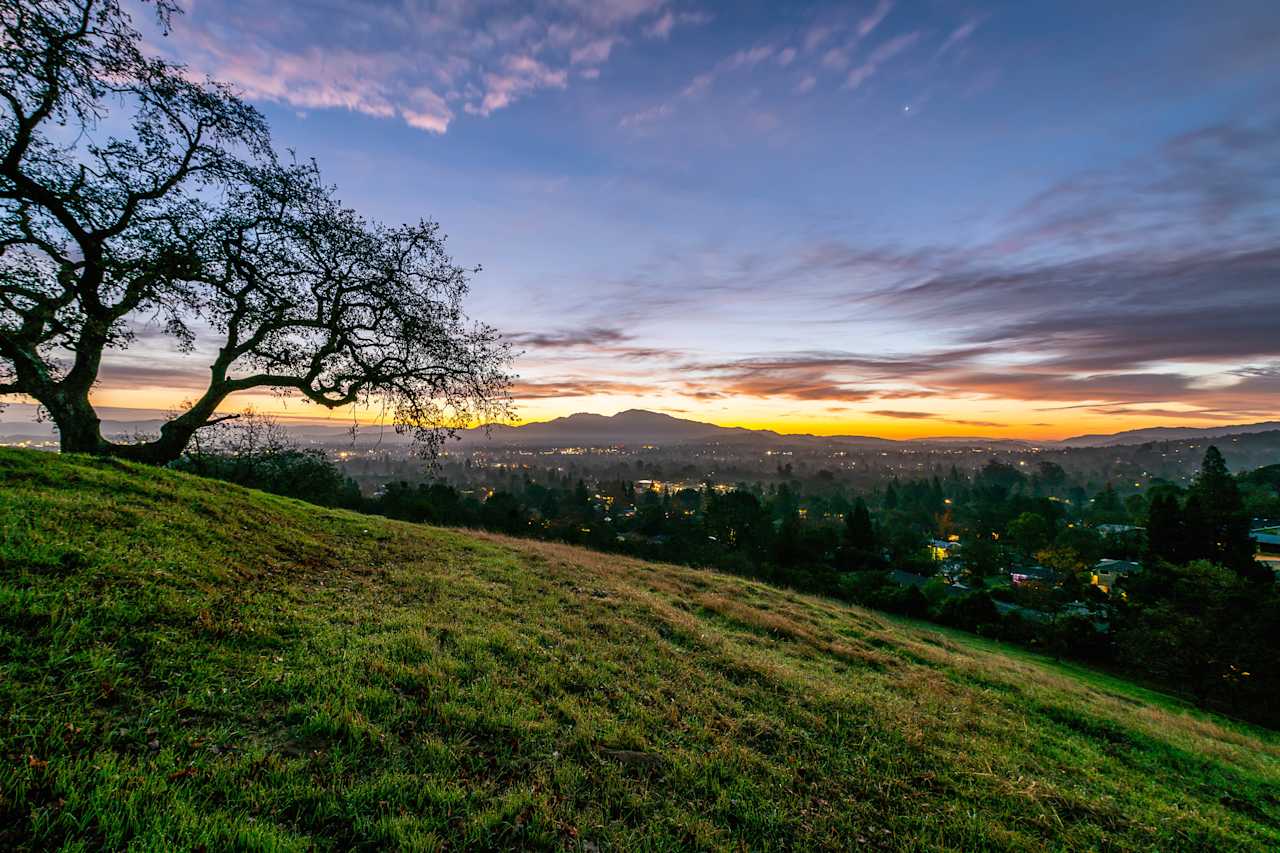
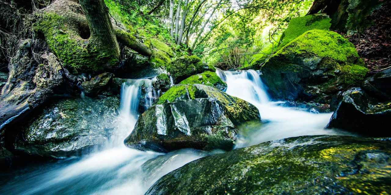
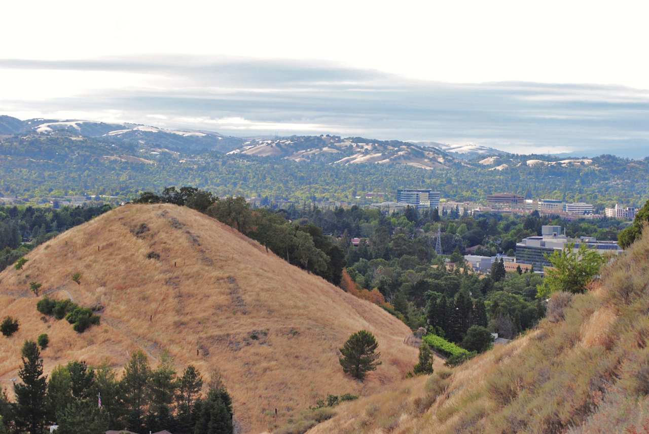
If you hike Shell Ridge on a Saturday and Lime Ridge on a Sunday, you probably think of it as the same activity in a different spot. Same oak-dotted hills, same fire roads, same dog off doing its own thing twenty feet ahead of you. But Walnut Creek's open space isn't one preserve wearing four names. It's four separate pieces of land with four separate rule sets, and until this year, the signage never bothered to say so.
That's changing. In May, the city's Open Space Division began installing larger, clearer trail markers at Shell Ridge, the kind that actually spell out which users are allowed on which trail. Once that work wraps up, the same signage is headed to Lime Ridge, Sugarloaf, and Acalanes Ridge. It sounds like a maintenance update. It's really the first time the system has been honest, in writing, about how differently its parts behave.
Four Names, Four Different Places
Here's what you're actually dealing with when someone says "the open space":
| Preserve |
Acreage |
Trail Miles |
What Sets It Apart |
| Shell Ridge |
1,420 acres |
31 miles |
The largest of the four, home to the historic Borges Ranch and Howe Homestead Park, and connected to Mount Diablo State Park by the Briones-Mount Diablo Trail |
| Lime Ridge |
1,226 acres |
25 miles |
Straddles Walnut Creek and Concord, includes a fully protected wildlife preserve section, and sits on land quarried for limestone from 1905 to 1946 |
| Acalanes Ridge |
201 acres |
4 miles |
Two disconnected access points nearly a mile apart, plus a ridge-top site once marked by concrete arrows from the old transcontinental airmail system |
| Sugarloaf |
177 acres |
3 miles |
The smallest and most developed, with a staffed ranger station, an amphitheater, and one of the last black walnut orchards left in the city |
Shell Ridge alone is roughly eight times the size of Sugarloaf. That's not a rounding difference. It means a "quick loop" at Shell Ridge and a "quick loop" at Sugarloaf are not the same commitment, and it means the rules that make sense for a 1,420-acre working ranch property don't automatically apply to a 177-acre park with an amphitheater and bathrooms.
The Signs Are New. The Reason They Matter Is Older.
Before this year, a fair amount of the trail system relied on people just knowing things. Which fire roads allow mountain bikes. Which singletrack sections are hiker-only. Where the equestrian right-of-way actually starts. Some of that knowledge lived in the Walnut Creek Open Space Foundation's printed guides. Some of it lived in whoever you happened to be hiking with that day.
The new signage program is designed to close that gap by putting permitted uses directly on the post at the trailhead rather than leaving it to memory or a PDF map picked up at City Hall. That matters most on the multi-use fire roads where hikers, cyclists, and equestrians already share tight space, since a sign that actually states who's allowed where does more to prevent the kind of near-miss standoff every regular user has had at least once.
The city has not published a completion date for Lime Ridge, Sugarloaf, or Acalanes. So if you're out at Lime Ridge this month and the markers still look like the old, smaller version, that's not a stalled rollout. Shell Ridge went first because it's the largest and most heavily used of the four, and the rest are queued up behind it.
One Leash Law, Except It Isn't
Here's the part that surprises even longtime users: Walnut Creek's open space does not have a single dog policy. It has at least four, and three of them apply within Lime Ridge alone.
- North Lime Ridge, the section north of Ygnacio Valley Road, requires dogs to be under positive voice and sight command or leashed at all times. Cattle graze here, and dogs that chase livestock create a real problem. There have also been dog-versus-coyote encounters when animals stray too close to den sites.
- Central Lime Ridge, south of Ygnacio Valley Road, is the Lime Ridge Wildlife Preserve. No dogs are allowed here at any time, full stop, regardless of leash.
- South of the preserve, the rule flips back to on-leash access.
- Shell Ridge and Acalanes Ridge carry a ranger recommendation that dogs stay leashed at all times, which is meaningfully different from the hard no-dogs zone in central Lime Ridge. One is a suggestion. The other is enforced.
None of these boundaries are fenced off in any way that makes the zone obvious mid-hike. You cross from a leash-recommended area into a wildlife preserve without a gate or a wall to mark it, which is exactly why the new signage matters more at Lime Ridge than anywhere else in the system.
What's Actually Worth Walking to This Fall
Beyond the signage, the fall calendar gives residents a few real reasons to pick a different trailhead than the one closest to home:
- The Howe Homestead Harvest Festival, tied to the old orchard property inside Shell Ridge, is one of the Foundation's seasonal events worth watching for.
- The Sugarloaf Halloween Party turns the smallest preserve's amphitheater and picnic areas into the neighborhood's most kid-friendly open space event of the year.
- The Foundation's Moonlight Hike, typically scheduled in August, is worth checking the calendar for now if you want to catch it before the season turns.
- Mayor Bob's 2nd Saturday Walks, a recurring community walk series supported by local CERT volunteers, rotates through different sections of the open space and surrounding neighborhoods month to month.
- The Foundation also runs Heritage Day and volunteer Trail Days throughout the year, both organized through the Walnut Creek Open Space Foundation.
None of these require a car ride out of town. They're built around land most residents already treat as a backyard extension, which is exactly the point.
The Fine Print Pays Off
The small landmarks scattered through these four preserves are proof that they're not interchangeable hillsides. Borges Ranch, inside Shell Ridge, is a working cattle ranch old enough to sit on the National Register of Historic Places. Howe Homestead Park nearby was once the home and orchard of James P. Howe, a name tied to the Associated Press. The airmail arrows at Acalanes Ridge date back to a navigation system pilots used before radar existed. Sugarloaf's black walnut grove is one of the last of its kind still standing inside city limits.
None of that history shows up if you only ever loop the trail nearest your driveway. The new signage, awkward as bureaucratic upgrades usually sound, is a decent excuse to finally walk the other three.
If you're the kind of person who tracks small local changes like this one, you probably also think about the value of living close enough to walk out your door and into 3,000 acres of protected hillside. That proximity is part of what The Corio Group weighs into pricing conversations for homes near Shell Ridge, Lime Ridge, Sugarloaf, and Acalanes Ridge, because it's a real factor in how these Walnut Creek neighborhoods hold their value. If you're curious what that's worth for your own property, request your home valuation and we'll walk you through it, appraisal data included.